Vicon motion capture gives autonomous vehicle teams real-time, six-degrees-of-freedom ground truth: the precise position and orientation of every vehicle, drone, robot, and person in the capture volume. Engineers use that data to test, validate, and refine perception, localization, and control systems in a controlled, repeatable environment before they go anywhere near public roads or open airspace.
Automotive and Self-Driving Vehicle Development
Automotive teams use Vicon as a ground truth reference for autonomous vehicle testing and validation. By tracking vehicles to sub-millimeter accuracy, engineers can benchmark lidar, camera, and IMU outputs, measure response times, and compare a vehicle’s planned path with what it actually did. Vicon systems scale to warehouse-sized volumes, so teams can recreate challenging traffic scenarios repeatedly under the same conditions.
Drones and Unmanned Aerial Vehicles (UAVs)
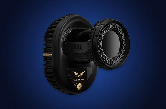
Flight control and navigation development depends on accurate, low-latency tracking. Vicon tracks drones in six degrees of freedom in real time, and Valkyrie cameras capture even small, fast-moving aircraft. With data streamed into ROS, MATLAB, and Simulink through the DataStream SDK, teams can close the control loop for indoor flight testing and agile maneuvers.
Urban Air Mobility and Delivery Drones
For organizations developing delivery drones and air taxis, Vicon enables indoor testing of entire fleets where GPS isn’t available. Bell Innovation uses Vicon to emulate GPS indoors, flying proxy vehicles to develop its fleet management systems in parallel with its full-scale aircraft.
Unmanned Ground Vehicles and Mobile Platforms
Developers of UGVs and mobile platforms use Vicon to validate localization, SLAM, and navigation against a highly accurate reference. In sim-to-real workflows, Vicon data shows exactly how real-world performance differs from simulation, so teams can close that gap before deployment. Discover Robotics
Pedestrian and Traffic Safety Research
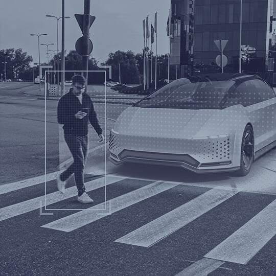
Autonomous vehicles need to understand and predict how the world moves around them. Vicon tracks human movement and vehicles in the same capture volume at the same time, so teams can model how pedestrians, cyclists and other road users behave and use that data to improve safety and navigation.
University and Academic Research
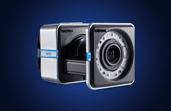
Research labs use Vicon to quickly prototype and test autonomous systems. At Worcester Polytechnic Institute, 14 Vero cameras running Tracker 4 provide precise, real-time tracking for autonomous drone research, with applications from disaster response to crop monitoring.